Noise Disclosure Overlay and Contour Exposure Maps
The most current Contour Map is the 2020 projection.
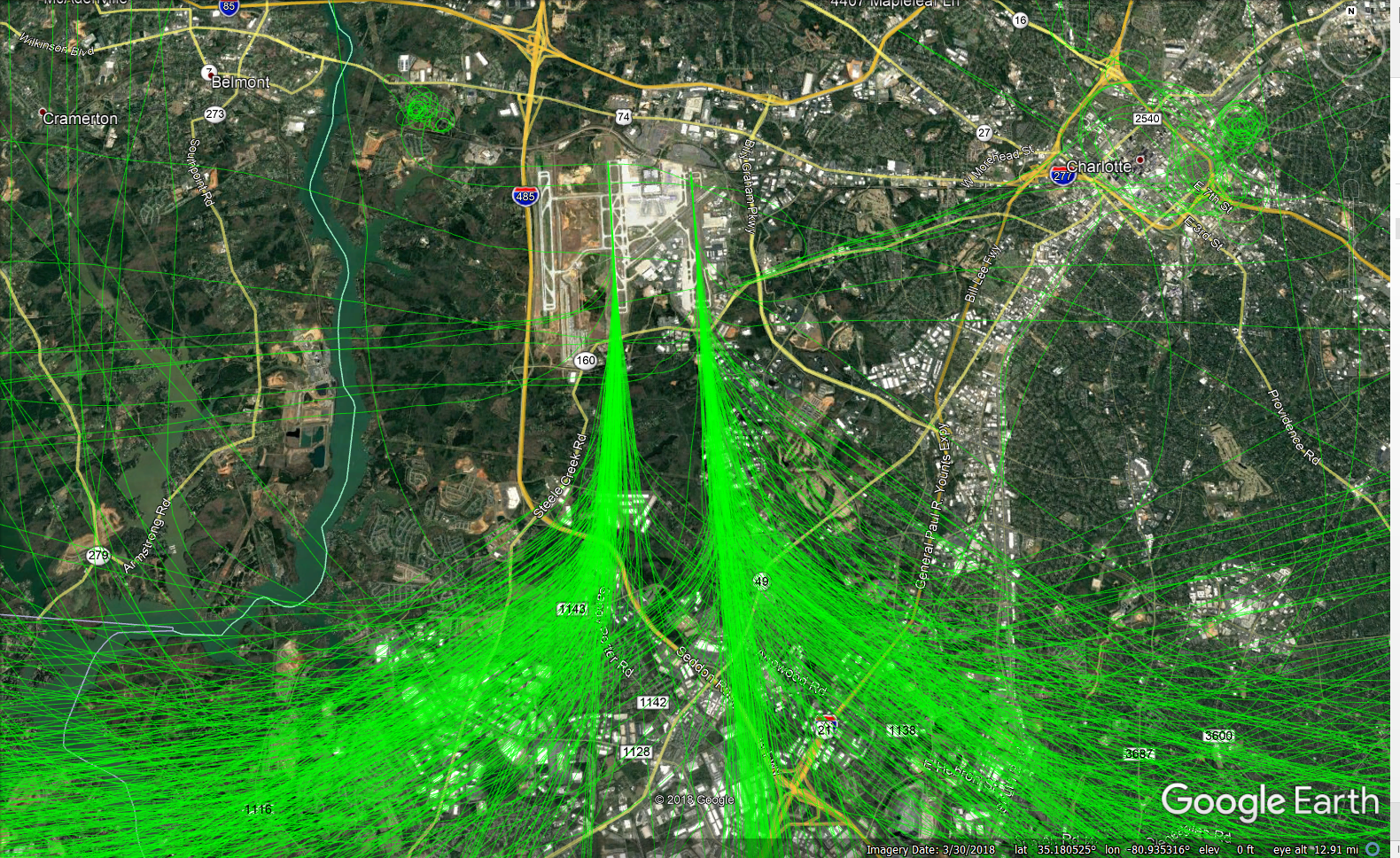
Flight Track Maps and KML Files
The following attachments are maps of current flight procedures. These files are KML format, meaning they can be used as overlays in Google Earth. For instructions, download the KML FILE INSTRUCTIONS document.